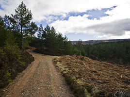
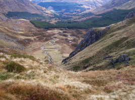
Currently browsing category

2018

16th September 2018 – Invercauld

Distance: 16 miles/26km Ascent: 3215ft/980m Time: 6-7 hours Start/finish: Large layby on A93 at Inver, opposite red telephone box (GR: NO 234938) Maps: Ordnance Survey 1:50,000 Landranger sheets 43 (Braemar & Blair Atholl) and 44 (Ballater)Route: Follow minor road, then track to Ballachlaggan. Turn R on grassy path, climb past …

16th December 2018 – Glen Tanar

Map 44, Grid Ref 480965 Pay for car parking so remember some change. There is a visitor centre & toilets near the car park. Many route options for the shorter winter days. There are plenty of well marked paths in Glen Tanar, on either side of the Water of Tanar. …